Thanks to the excellent work of several contributors, the DCC edition of selections from Caesar’s Gallic War has roughly doubled in size. New features include:
- Text and notes for forty-six new chapters, BG 1.8–54, making Book 1 complete
- Accurate vocabulary lists with specific Caesarian definitions from the Caesarian lexicon of A.L. Hodges
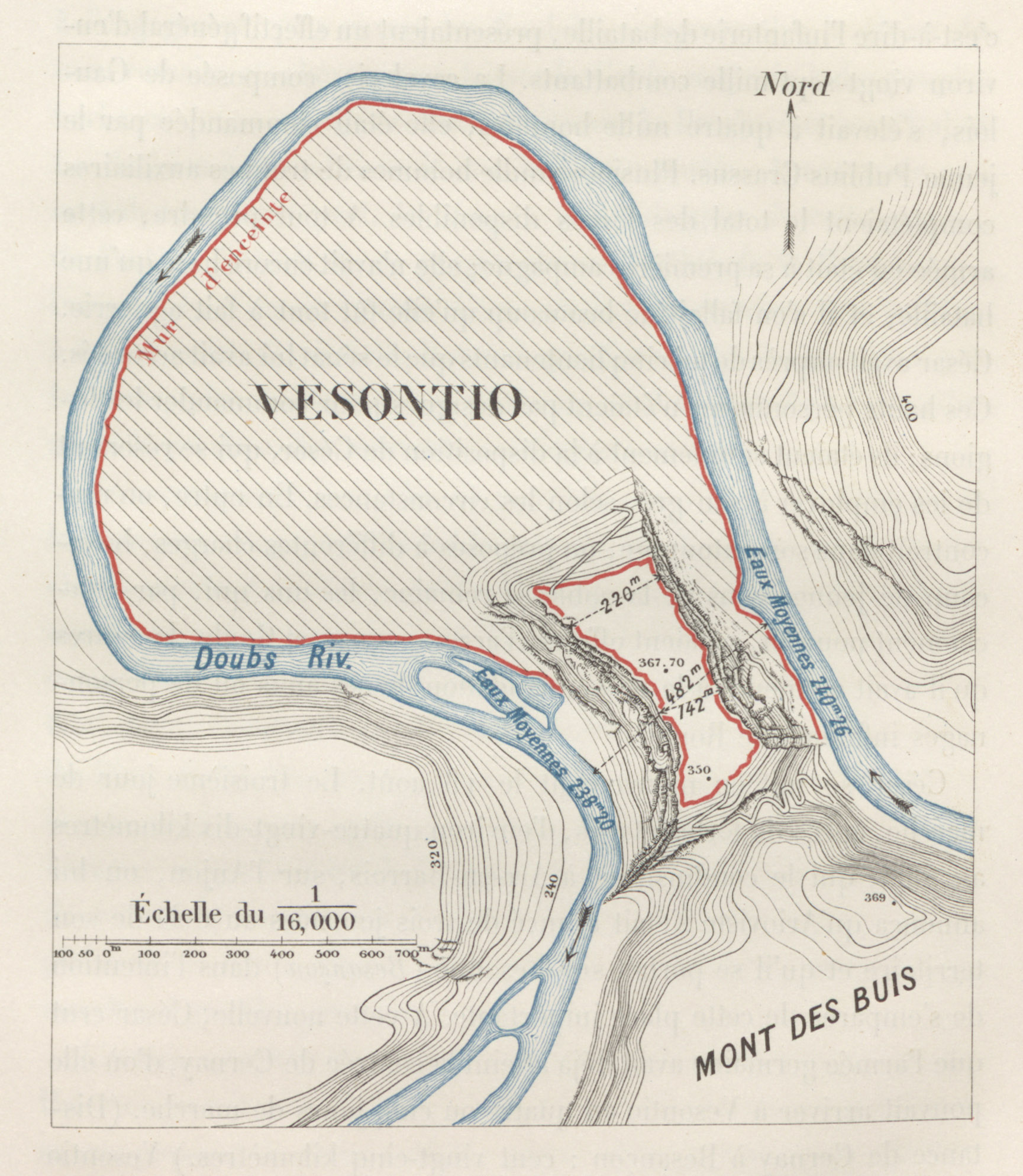
- 200+ newly digitized maps by T.A. Dodge, Eugène Stoffel, and others
- Audio recordings for Book 1 by Jonathan Rockey
Notes selected, edited, and equipped with links
JoAnne Miller chose, transcribed, and edited the notes using a series of commentaries, including those of Allen and Greenough, Anthon, Harkness, Harper and Tolman, Hodges, T. Rice Holmes, Francis Kelsey, Lowe and Ewing, Spencer, Merryweather and Tancock, Moberly, Stock, Arthur Tappan Walker, and A.S. Walpole (links to source editions are here). In the age of big data it might seem attractive to have access to all notes that have ever been written on a particular passage. But if you’ve ever looked at these older editions you know that less is more. JoAnne’s job was to find just the kinds of notes that students are likely to want and need, and to cut out the dross, errors, and pedantry. For that kind of work you need not only JoAnne’s superb Latin and knowledge of the subject, but her decades of teaching experience to be able to anticipate what contemporary students will find troublesome. She updated the sometimes archaic English used by these authors, and made the formatting clean and consistent.
Over winter break 2017–18 the notes were further proofread and edited, and links were added, by Eli Goings (Dickinson ’18), Beth Eidam (’20), and Carl Hamilton (’21). The main kinds of links are geographical (normally to Pleiades for ancient places or, for contemporary European places, Wikipedia), grammatical (to the DCC edition of Allen & Greenough’s Latin Grammar), and rhetorical, with definitions for a few literary and rhetorical devices used by Caesar. These go to Wikipedia or Wiktionary, which have clear definitions and examples from a variety of languages, not just Latin.
The Latin text itself was initially taken from the Latin Library by JoAnne Miller. She did an initial round of editing and adding macrons, using Johan Winge’s A Latin Macronizer and her own corrections of its output. The text was checked and made to conform with DuPontet’s Oxford Classical Text (our normal but not inflexible policy for Caesar), by Eli Goings, Beth Eidam, and Carl Hamilton. Final textual checking and macron adjustments were made by me and Jonathan Rockey in summer 2018.
Vocabulary with custom Caesarian definitions
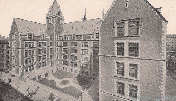
In the early 1900s Archibald Livingston Hodges was Latin instructor at historic Wadleigh High School in Harlem, New York City. Hodges’ edition of Caesar’s Gallic War was a notable academic publishing event of 1909. It was a student-friendly edition on which much labor was spent, not only in its lavish illustrations and scrupulous placing of macrons on the Latin text, but in its exhaustive lexicon, which includes specific Caesarian definitions for all words and proper names in BG 1–7. In 2015, with support from Dickinson College’s Research and Development Committee, I had Hodges’ Caesar Lexicon professionally digitized by NewGen KnowledgeWorks. Over the next couple of years Seth Levin (Dickinson ’19) transferred the Hodges definitions into a master spreadsheet, cleaned up the definitions and lemmas, matching Hodges’ lemmas with lemmas recognized by The Bridge. Bret Mulligan of Haverford College then added this data to The Bridge, which allowed for users of The Bridge to select Hodges’ custom definitions whenever they want vocabulary lists for any section of Caesar’s Gallic War. Over the 2017–18 winter break Dickinson students Eli Goings, Beth Eidam, and Carl Hamilton used The Bridge to create vocabulary lists for the new sections of BG 1, formatted them in html, and uploaded them to the site. As usual, the lists exclude items from the DCC core Latin vocabulary.
Newly digitized historical maps
At initial publication in 2010 the DCC Caesar edition had a dozen or so digitized maps from older editions. In 2013 Daniel Plekhov (Dickinson ’13) added the splendid new map of Caesar’s Gaul he created using ArcGIS. In the spring of 2018 the University Librarian at Arizona State University generously funded work to massively expand the collection, and in summer 2018 Beth Eidam embarked under my supervision on a project to scan and equip with appropriate metadata all published maps available for Caesar’s Gallic War that are in the public domain. In the end this amounted to more than two hundred newly digitized maps by nineteen authors: A. Von Kampen, A.F. Barbie du Bocage, A.J. Mason , A.L. Hodges, Albert Harkness, Alexander Keith Johnston, Arthur Tappan Walker, C.J. Peters and Son, Edward Stanford, Emery Walker, Eugene Stoffel, Francis W. Kelsey, G.W. Boynton, H. Meusel, H.F. Towle & P.R. Jenks, Raimund Oehler, T. Rice Holmes, T.A. Dodge, and W.R. Harper and H.C. Tolman.
This work was undertaken with the invaluable help of Dickinson Library Digital Projects Manager Don Sailer and archivist James Gerencser.

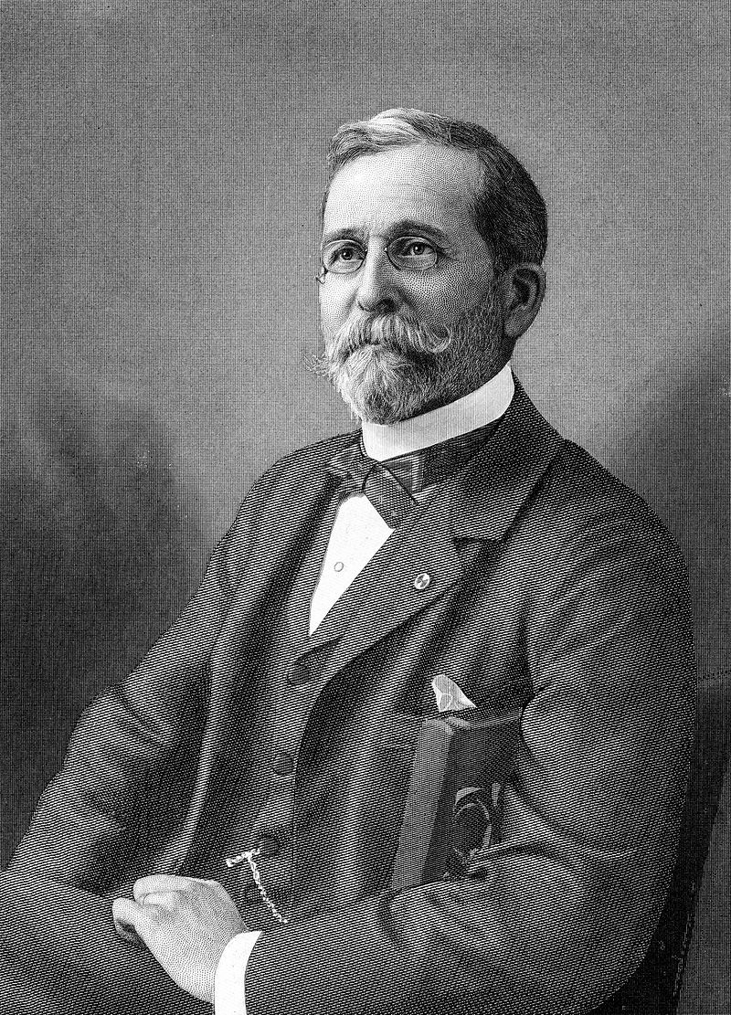
Theodore Ayrault Dodge (1842 – 1909), the American officer, military historian, and businessman who traveled in the tracks of Caesar and mapped his battles and routes. Photo: Wikipedia
The richest sources were the publications of two military men and historians. The American soldier, businessman, and author Theodore Ayrault Dodge (1842-1909) was from Pittsfield, Massachusetts. After receiving a first rate military education in Berlin and London he enlisted as a private on the Union side in the American Civil War, retiring at the rank of major in 1870 to pursue a business career. Despite losing a leg at Gettysburg, he was an indefatigable traveler and historian. He wrote The Campaign of Chancellorsville (1881) and Bird’s Eye View of the Civil War (1883). From 1890 to 1907 he published twelve volumes of his History of the Art of War: Alexander, Hannibal, Caesar, Gustavus Adolphus, Frederick the Great, and Napoleon. His two volumes on Caesar, which I am proud to own, include his dozens of sketch maps and plans for all of Caesar’s texts, based on first hand acquaintance with the routes and places. (Details of Dodge’s bio are from Wikipedia.)
Eugène Stoffel had a distinguished military career in his native France before being put in charge of the excavations of Gergovia and Alesia by Napoleon III. Backed by that kind of clout and cash, he was able to publish maps for Caesar’s works that are second to none in detail and geographical richness. They were also included with Napoleon’s biography of Caesar, the last volume of which Stoffel finished after Napoleon’s death.
These newly digitized maps supplement the excellent recent work of another historian-soldier, Captain Antonio Salinas of West Point, whose Caesar strategy maps made with Google Earth and using standard NATO symbology. Originally published in the Michigan War Studies Review, these have been part of the DCC edition from the beginning, thanks to Captain Salinas. All these maps exist and can be searched for in the DCC image viewer, and the ones that are relevant to specific pages of the DCC edition are also linked in the media fields for those pages.
Finally, I was to express my continuing gratitude to Jonathan Rockey, whose dulcet basso, exact knowledge of Latin prosody, and humane feeling for the music of Latin has done so much to enhance DCC over the years.
I am immensely grateful to all the individuals who contributed to the significant expansion, both to the living contributors named above, and to those energetic scholars of the past like A. L. Hodges and T.A. Dodge, whose works we have endeavored to revive and bring to a new audience in new ways.

