This map, “Concise Civil War Era,” exists on Google Maps and owes its greatest debt to Louis Masur’s The Civil War: A Concise History (Oxford University Press, 2011), but also incorporates a host of other resources from the research engine of the House Divided Project and elsewhere.
HOW TO USE
Click on menu (upper left) for a chronological listing of place marks arranged in five layers (Origins, 1861, 1862, 1863, and “1864 and Beyond”) in order to find coverage of the period roughly from 1787-1877 with a concentration on the war itself. There are two types of place marks: blue-and-gold markers indicating political or social events, and red “explosion” symbols, indicating violent or military events. Each placemark contains a gallery of images or embedded videos, with short snippets of text from Louis Masur’s The Civil War: A Concise History (Oxford, 2011), followed by links to the full text of related primary sources. In some cases, there are also links to relevant secondary or digital resources.
PRIMARY SOURCES
- Virginia and Kentucky Resolutions (1798)
- Missouri Compromise (1820)
- Wilmot Proviso (1846)
- Fugitive Slave Law (1850)
- Kansas-Nebraska Act (1854)
- Secret letter about Dred Scott Case (1857)
- John Brown’s statements in court (1859)
- Declarations of Secession (1860-61)
- Lincoln’s First Inaugural Address (1861)
- Letter to Horace Greeley (1862)
- Emancipation Proclamation (1863)
- Sam Wilkeson’s account of Gettysburg (1863)
- Lincoln’s Blind Memorandum (1864)
- Congressman describes passage of 13th Amendment (1865)
- Robert E. Lee’s Farewell (1865)
- Amnesty Proclamation (1865)
- Thaddeus Stevens on Reconstruction (1865)
- Fourteenth Amendment (1868)
IMAGE GALLERY
-

- Dred & Harriet Scott, 1857
-

- 1860 Political Cartoon
-
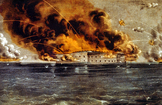
- Fort Sumter, April 1861
-
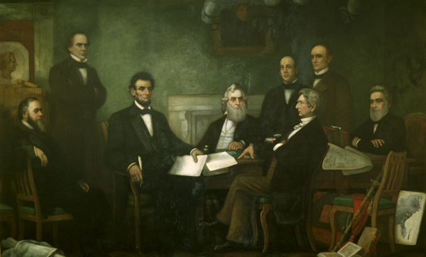
- July 22, 1862
-

- Antietam, Sept. 17, 1862
-

- January 1, 1863
-
- Richmond, April 1863
-
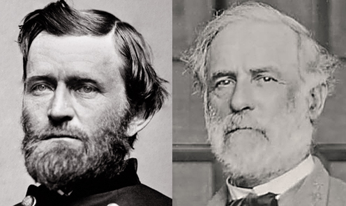
- Grant vs. Lee, 1864-5
-

- Ford’s Theatre, 1865