By Alex Bates
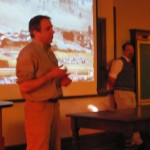
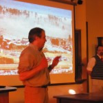
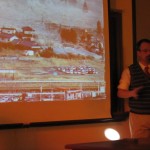
In the summer of 2013, a colleague in Earth Sciences and I led an experiential learning trip to Japan for a course titled “Seismic Japan: The Science and Culture of Earthquakes.” I am a specialist in Japanese literature and film with a scholarly interest in representations of the 1923 Kantō Earthquake and my colleague, Pete Sak, is a geologist specializing in plate tectonics. The idea was to bring together our expertise to provide a unique interdisciplinary learning experience for our students, one that explored the science behind earthquakes as well as the impact of seismicity on Japanese culture. This article gives an overview of the course and information for others interested in doing something similar.
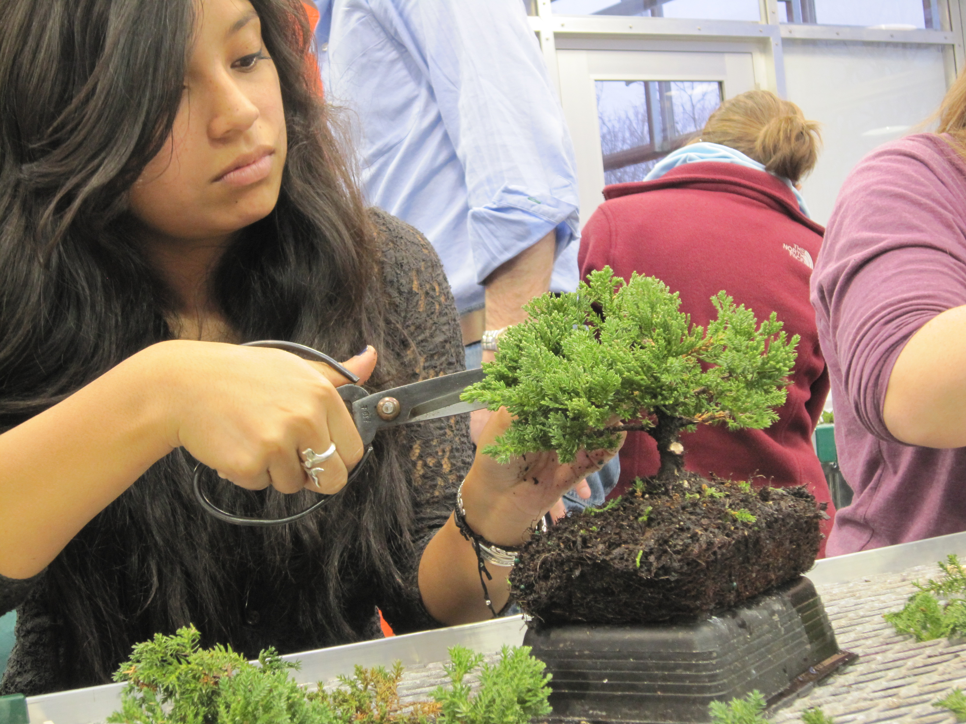
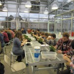
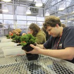
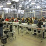
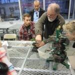
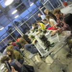
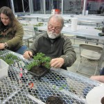
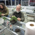
We had sixteen students from six different countries, ranging from rising sophomores to rising seniors for the four-week program. Just over half were East Asian studies majors or students of Japanese, some of the others had been exposed to geological concepts, and the remainder applied because they were interested in Japan. Some of our time in Japan was spent in the classroom at our partner institution, Nanzan University. This time in class was devoted to an overview of Japanese geography, basic geological concepts and the history of earthquakes in Japan. The GLGArcs.net website explains how the subduction zone adjacent to Japan both helped form the islands and also leads to its volcanoes, hot springs and frequent earthquakes. Though we spent two sessions on Buddhist concepts of disaster and the Ansei earthquake of 1855, the majority of the class was focused on earthquakes after the Meiji Restoration of 1868. Interspersed with the class time were various field trips exploring geological evidence of prehistoric seismic activity and specific sites related to the earthquakes we discussed in class. It would be possible to provide background in a regular class before departure and concentrate the time in Japan on the field trips or perhaps incorporate some of these ideas as modules in a more general short-term study abroad program.
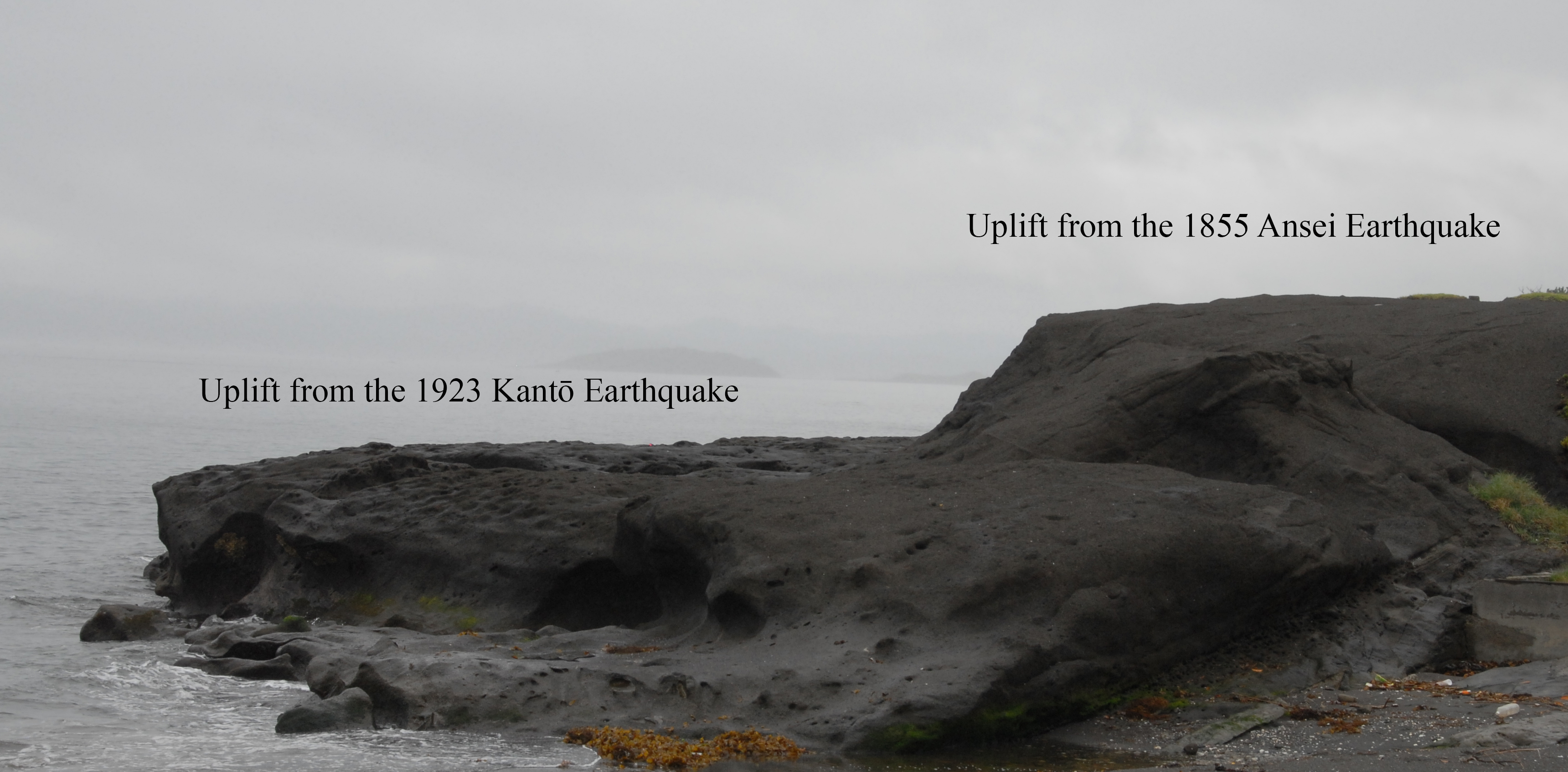
The upper step is from the 1855 quake, whereas the lower step is the more recent uplift from 1923.
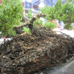
A key part of our study of seismicity was a trip around the Bōsō Peninsula to help understand Japanese earthquakes in terms of geological time. There, we could observe the uplift of the coastal rock, tsunami deposits far inland, as well as dramatic evidence of an earthquake millions of years ago. On the coast we could see evidence of erosion, followed by dramatic sudden uplift associated with both the 1855 Ansei Earthquake and the 1923 Kantō Earthquake. Students were then able to look up the hillside to see a recurring history of the uplifts that formed the Bōsō Peninsula. Further evidence of seismic activity can be seen in a geological roadside park.[i] The excavated embankment preserves the result of an underwater landslide from millions of years ago.
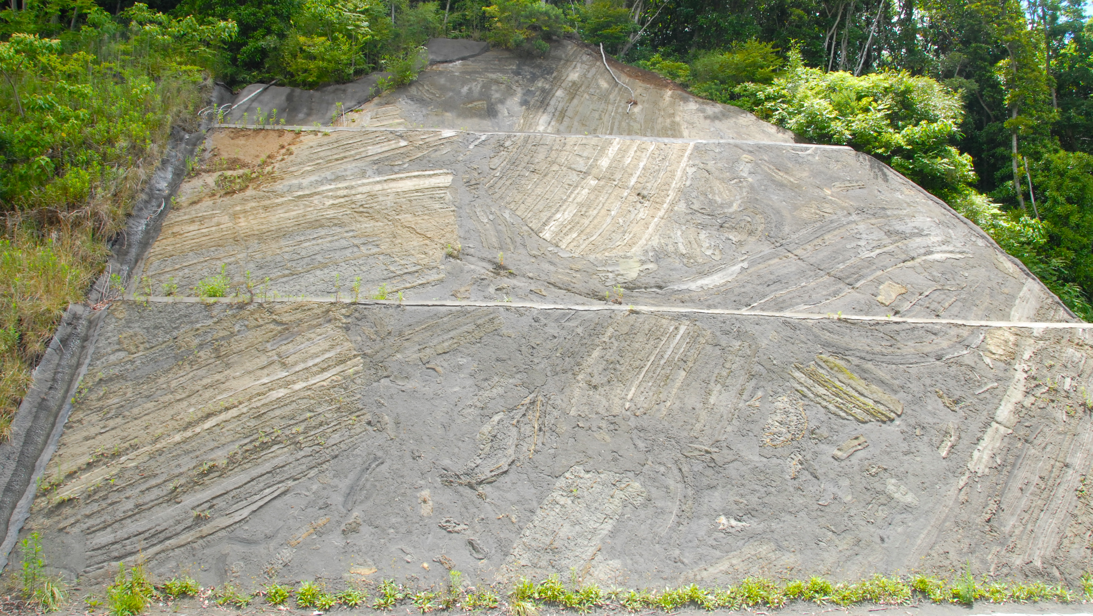
The chaotic formations visible at the roadside park
Yuzuru Yamamoto, a JAMSTEC geologist, discovered this unusually chaotic rock strata formation and hypothesized that it was the result of liquefaction following a major seismic event.
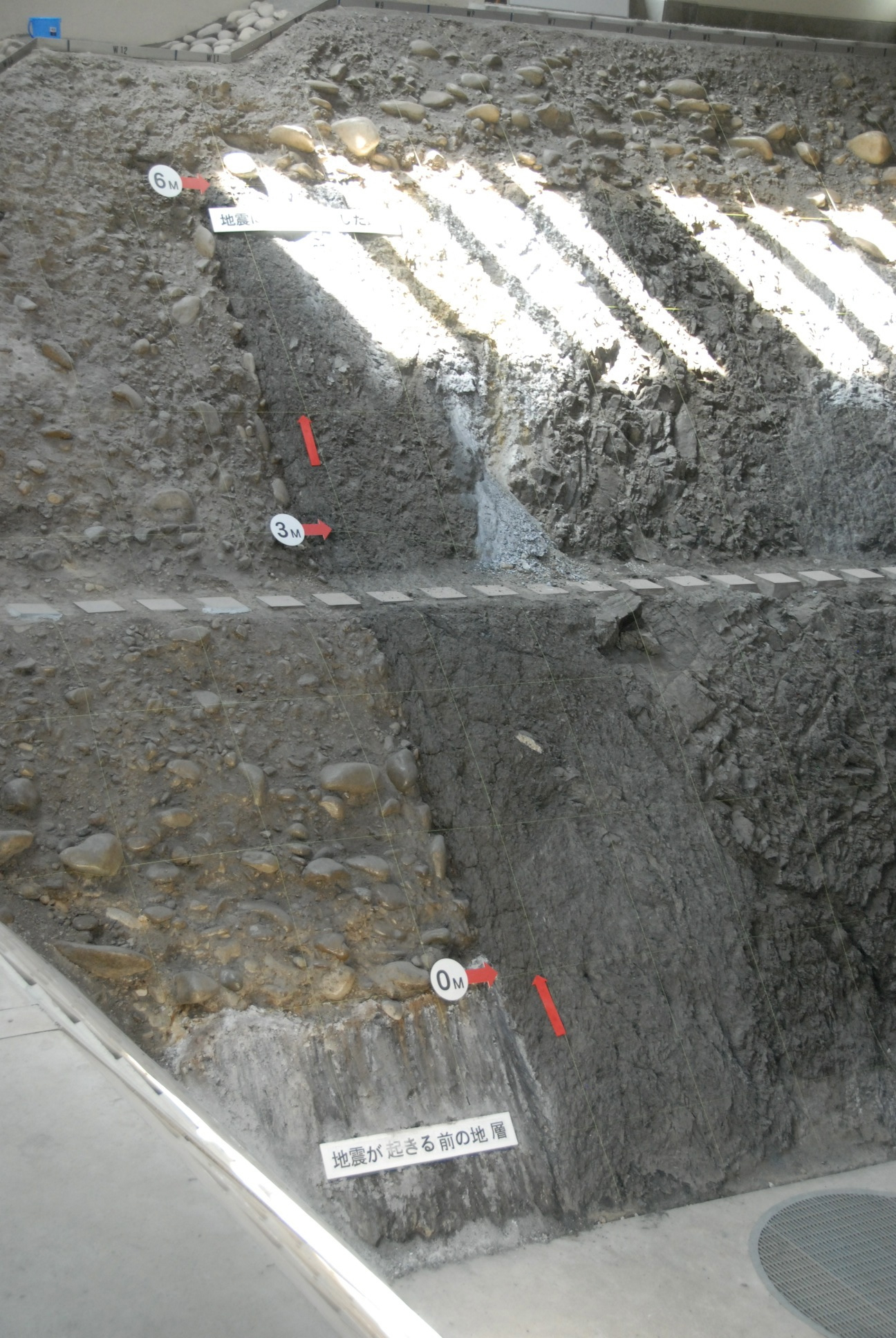
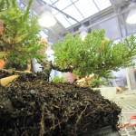
The exposed fault in the Neodani Fault Museum. The darker rock shows an uplift of about six meters
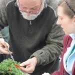
The first modern earthquake we examined in detail was the 1891 Nobi Earthquake. Students read excerpts from Gregory Clancey’s Earthquake Nation, which covers the role of Japan in the development of seismology as well as the cultural role played by earthquakes in the Meiji era. When the 1891 earthquake struck, Japan was in the midst of questioning its wholesale acceptance of western technology. The visual culture of the aftermath contrasted the spectacular destruction of modern brick buildings with standing traditional buildings to call attention to the folly of the foreign architects and the ingenuity of traditional craftsmen. The inland fault that ruptured causing the Nobi quake was unusual, because most of Japan’s earthquakes are caused by slippage along the plate boundary off the coast. Due to its location, it is possible to visit the site of the rupture in Motosu, Gifu prefecture, and see how the earthquake shaped the landscape. Such a visit is even more fruitful because the Neodani Fault Museum has preserved an excavated section of the fault, a rare opportunity to examine evidence of underground seismic movement. (For more information on the museum, see the glgarcs.net website.) The six-meter shift in the rock helped students comprehend the intensity of the quake. There, we had students practice their observational skills and draw upon their classroom knowledge to describe what they were seeing in the exposed earth. The museum collection of contemporary photos, maps, images and books also helped students see further evidence of Clancey’s argument.
For the Kantō Earthquake of 1923 and the Hanshin-Awaji Earthquake of 1995, we were able to visit the memorial museums dedicated to each disaster. Of the two, the museum in Kobe was the most accessible to foreign visitors. Many of the interpretive signs were in English and several of the volunteers spoke English as well. There were other school groups in the museum on the day we visited, a regular occurrence, and we were able to discuss the prominent role given to disaster education in Japan in contrast to many other countries. Students particularly appreciated the personal stories of survivors and the way the museum recreated a post-disaster street scene. In conjunction with this visit, we read some of Murakami Haruki’s stories about this earthquake. I have discussed two of these stories in an article for Education About Asia, available here.
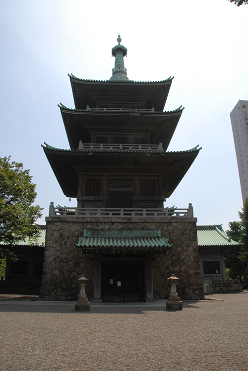
The Earthquake Memorial Hall, designed by Itō Chūta
The Kantō Earthquake Memorial Hall and museum required a bit more explanation. Gennifer Weisenfeld’s chapter on “Remembrance” in her book Imaging Disaster provided the perfect catalyst for our conversation. There, Weisenfeld outlines the debates over the memorial and the outcry over the initial Western-influenced design due to its lack of “ethnic characteristics” (274).
This discussion connects back to Clancey’s argument and the way the East/West dynamic can impact earthquake memory. The book also helped us think about the objects displayed in the adjacent museum. Weisenfeld points to the way that “burned and mangled bicycles gesture to absent riders” (288). Students wrote their responses to individual objects on the class blog. One student explained how an object as simple as a damaged pen takes on new meaning when it is displayed in a memorial museum.
Either of these museums could add a disaster related dimension to more general study tours of Japan. To do so would require a mere half-day excursion as part of a visit to their respective cities. If both of the museums are included, then a comparison of the two would be fruitful. The Tokyo museum and park is centered on memorialization, whereas the Kobe museum is primarily geared toward education.
Before travelling to Tōhoku to discuss the March 2011 disaster, we provided context through lectures and articles (Blandford and Ahn; Ewing and Murakami; Ritsema et al.; Satake and Atwater). We also had students read some recent works of literature available in the collection March Was Made of Yarn. We all read “Island of Eternal Life” by Tawada Yōko, along with a few other stories. We discussed Tawada’s use of science fiction and history to posit an alternate future that strangely resembled the Edo period. The story suggests that scientific “progress” could ironically cause a national regression if nuclear power and government ran unchecked. After the class discussion, students presented on works of their choice from the Waseda Bungaku website. Students were able to see the range of literary responses to the disaster and discuss how each author responded in her or his individual way.
We also explored one response through visual art during a visit to Shibuya station, the site of the giant mural “Myth of Tomorrow” by Okamoto Tarō. This cold-war era anti-nuclear bomb mural was modified soon after the disaster by the guerilla art group Chim↑Pom.
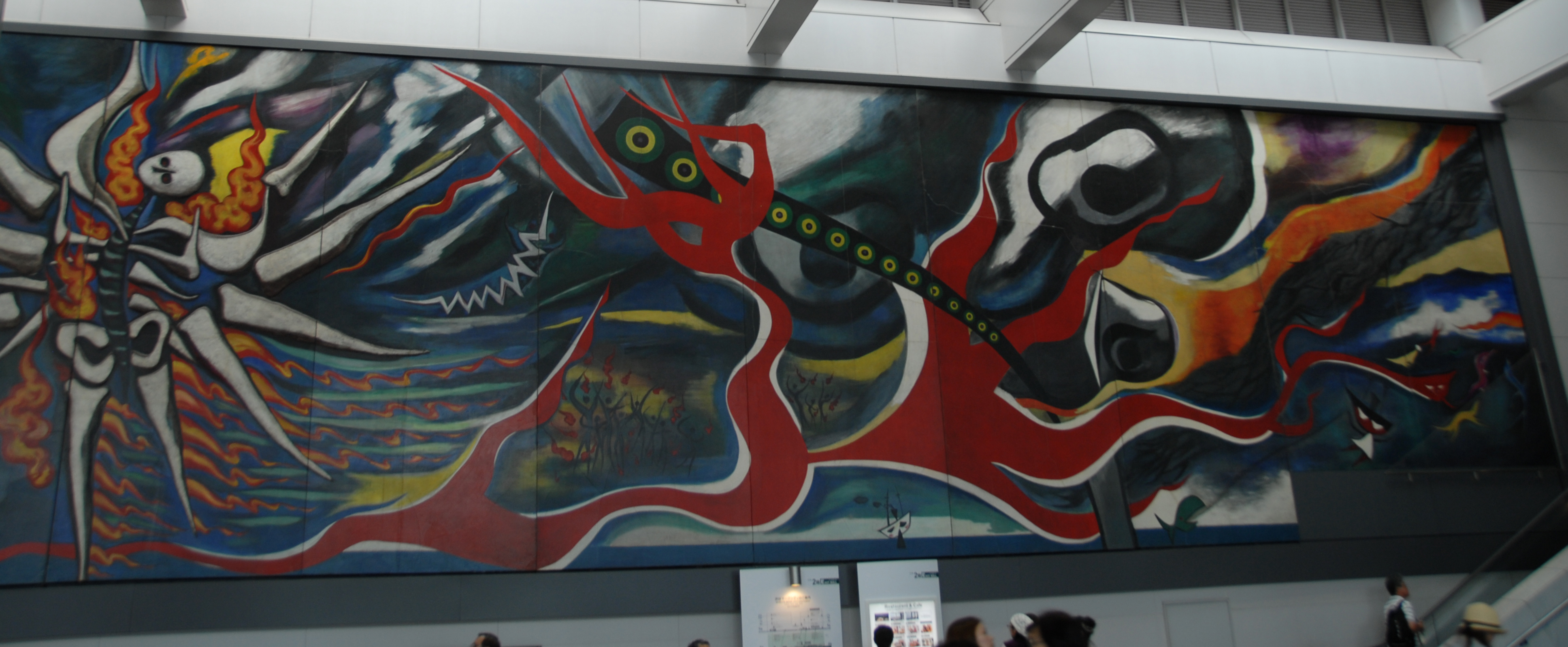
Okamoto Tarō’s “Myth of Tomorrow”
In a work titled “Level 7” (after the most serious level on the nuclear disaster scale), Chim↑Pom added an image of the damaged Fukushima nuclear plant to the corner of the painting, modifying Okamoto’s message to speak to the recent catastrophe. Linda Hoaglund has provided context and a series of links about the art group and their politics in her Japan Focus article The videos of Chim↑Pom’s various post 3/11 activities, accessible through Hoaglund’s article, would help to discuss artistic responses to disaster without a trip to Japan, but it was impressive to stand before the mural itself.
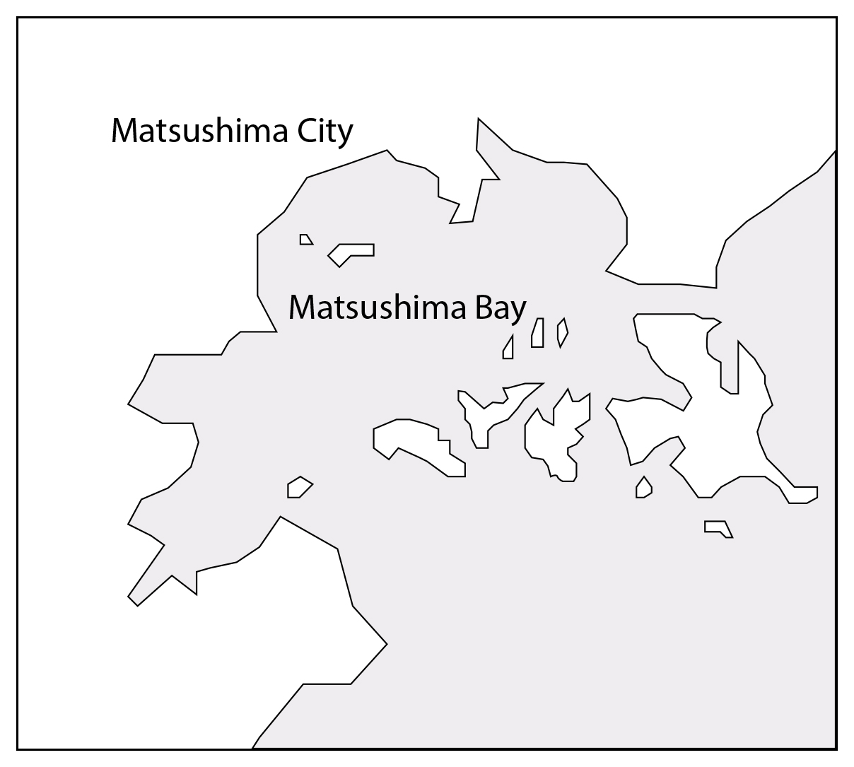
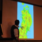
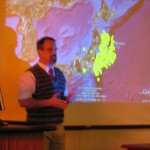
Map of Matsushima bay.
The trip to Tōhoku was the most moving part of the program. Our first stop was Matsushima, whose bay full of pine-covered islands is one of the most famous scenic spots in Japan. There was very little trace of the tsunami or the earthquake in Matsushima. As we walked thorough the town with our students, we pointed out remnants of the disaster that could easily be overlooked. There were recent memorial markers, sidewalks warped by liquefaction, and an historic tree whose root system had been damaged by the salt water. There was little evidence of the tsunami on our boat tour of the bay as well, but the guide showed images of how some rock formations were altered by the shaking and the waves and salt water had killed trees on one or two of the islands as well. The lack of damage in Matsushima allowed us to discuss why that might be the case. The shape of the Matsushima bay resulted in a less powerful wave and the many islands helped dissipate the energy.
The same effect on a larger scale can be seen in a simulation by the National Oceanic and Atmospheric Administration (NOAA). The video demonstrates how Papua/New Guinea and the Solomon Islands, for example, protected Australia from the full impact of the waves.
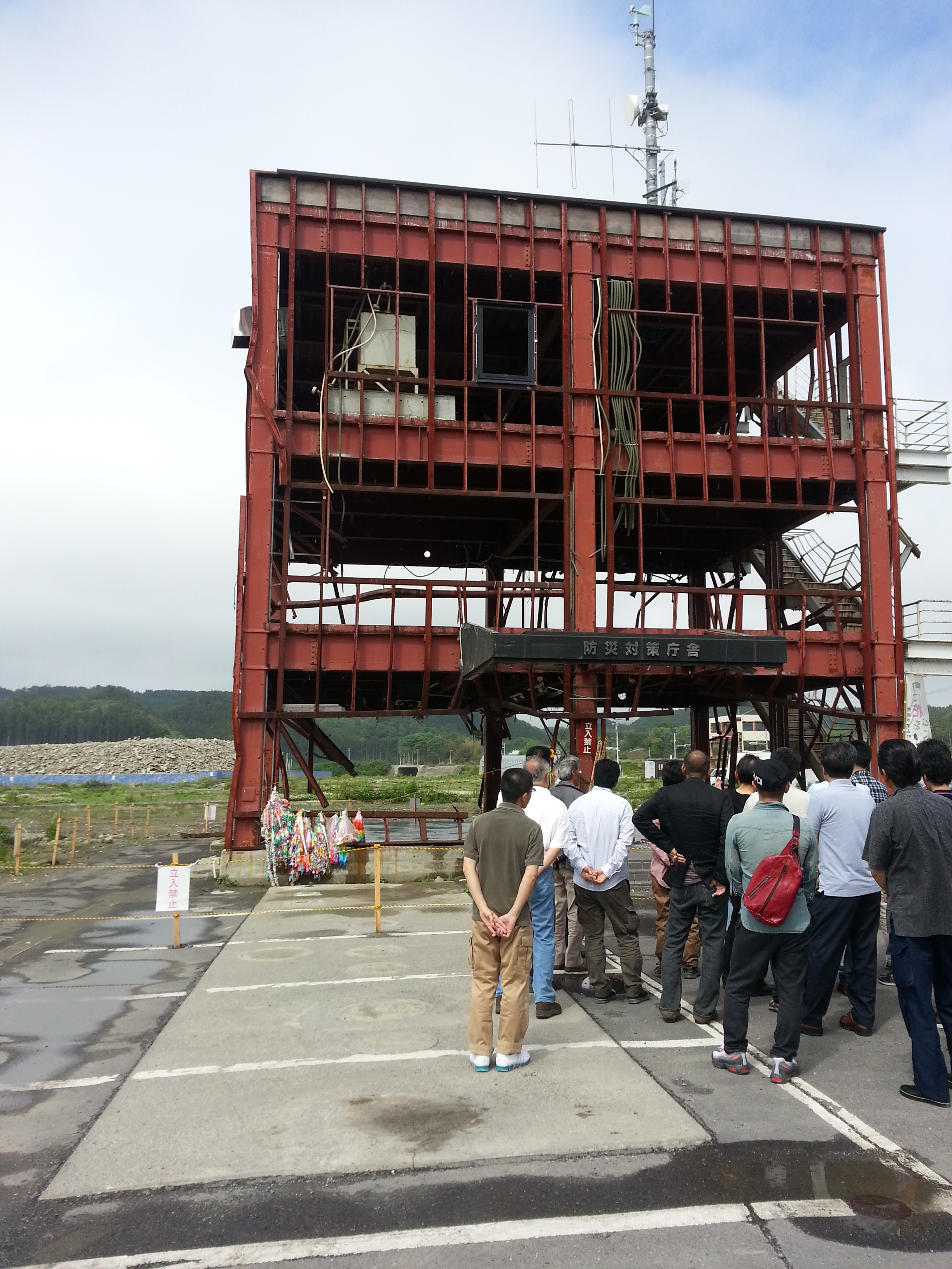
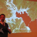
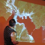
The Minamisanriku Disaster Preparedness Building makeshift memorial.
From Matsushima we went to Minamisanriku, one of the communities most devastated by the tsunami. The contrast was striking. One difference was accessibility; we were unable to make it all the way to the city by train, as the line servicing much of the coast in the area remained impassable. No matter how many times students may have seen photos, video or satellite imagery, it could not prepare them for the shock of seeing a city literally wiped away. The fact that the pre-tsunami population was similar to that of Carlisle (approximately 18,000) helped put the devastation in context. The shape of this bay concentrated the waves making them higher than other areas. Hotel Kanyō arranged for a bus tour of the devastation the morning after our arrival (only available in Japanese). Our guide had lost his home and everything in it, but his young family was saved. We saw makeshift memorials, heard stories of people who sacrificed themselves to warn others, and signs of revitalization in a temporary shopping area.
While I felt the tour was valuable for our students, I was a bit conflicted about the “disaster tourism” aspect. Nevertheless, we were able to have a fascinating discussion following the tour that touched on the complicated ethics of “disaster tourism.” Students noted that while making money from a disaster was troubling, the educational merit and the employment opportunities it provided for the dispersed community were not easily dismissed. It was one of the best discussions we had in the class.
This program allowed for experiential learning that would not be possible otherwise. There were countless serendipitous moments when an artifact in a museum, a geological formation or a chance encounter with an earthquake survivor or volunteer led to deep discussions. In the final evaluations, students remarked that these trips and the individuals we encountered helped them “think more deeply about earthquakes and their impact on people,” in the words of one student. Another commented that the trip to Tōhoku would have a “life-long influence” on his or her life. These comments suggest the importance of understanding disaster through standing face to face with its effects rather than through the abstraction of news reports.
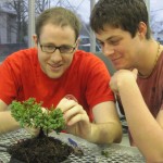
Photos courtesy of Emily Pawley
Class Projects:
There were two major projects in the course. The first was a joint presentation with Nanzan University students in a class on American politics. For this project, our students researched governmental response to disasters in Japan and the Nanzan students researched the same in US disasters. They then shared what they learned with each other to come up with a group presentation comparing the two. We had presentations on disaster warning systems, the differing responses from government bureaus and NGOs, post-disaster housing and unemployment. Students appreciated the opportunity to work with Nanzan students and noted their thoughts on the class blog.
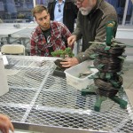
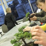
The final project was a group poster and presentation focused on one of the earthquakes we studied. Students outlined the science of what happened, what people learned from the disaster, and how it impacted the culture. One group included a student’s own interpretation of the disaster through poetry.
Links:
Class blog (no longer active)
Museums:
This museum has very little in English, but it provides a unique opportunity to see a major fault exposed.
The Great Hanshin-Awaji Earthquake Memorial Museum
This museum has information in a variety of different languages, and is very accessible to English speakers. It is particularly useful in describing the role disaster education plays in Japan.
Kantō Earthquake Memorial Hall and Museum
Most of the signs are in Japanese, but there is much to discuss in this museum, especially in conjunction with Gennifer Weisenfeld’s book.
This museum, close to the Kantō Earthquake Memorial, provides information on disasters in the Tokyo area along with other useful information about the city. It gives context to the smaller earthquake museum next to the Earthquake Memorial Hall.
Other useful websites:
This website provides geological background on Japan and includes possible sites for geological field trips, but, in most cases, access is difficult without a car.
This site includes detailed information on earthquakes, Japan’s particular seismic intensity scale and the early warning system. It is useful for explaining the array of networks and institutions that help Japan deal with its frequent earthquakes.
Nagoya City Information on Disasters
Most local governments have information on local disaster preparedness in English. For one assignment, students explored the information available online to determine a disaster plan for our group. While this site is for Nagoya, any reasonably sized city should have similar information and maps outlining the evacuation centers. An earthquake disaster plan is important for any trip to Japan, but making one was a fascinating learning activity.
NOAA simulation of the 2011 tsunami
In this video, Dr. Eddie Bernard narrates a simulation of the wave generated by the March 11 earthquake. The video clearly shows how islands act as tsunami barriers.
Bibliography
Bates, Alex. “Catfish, Super Frog, and the End of the World.” Education About Asia 12, no. 2 (2007): 13-19.
Blandford, Edward and Joonhong Ahn. “Examining the Nuclear Accident at Fukushima Daiichi.” Elements 8, no. 3 (2012): 189-94.
Chim↑Pom and Linda Hoaglund. “The Suddenly Relevant Activist Antics of Artist Collective Chim↑Pom: Challenging Japan’s Nuclear Power Agenda.” The Asia-Pacific Journal 10, no. 30.3 (July 23, 2012):(accessed October 10, 2013).
Clancey, Gregory K. Earthquake Nation: The Cultural Politics of Japanese Seismicity, 1868-1930. Berkeley: University of California Press, 2006.
Ewing, Rodney and Takashi Murakami. “Fukushima Daiichi More Than One Year Later.” Elements 8, no. 3 (2012): 181-82.
Ichikawa Makoto, ed. “Japan Earthquake Charity Literature” Waseda bungaku (September 11, 2011): l (accessed October 10, 2013).
Luke, Elmer, and David Karashima. March was Made of Yarn: Reflections on the Japanese Earthquake, Tsunami, and Nuclear Meltdown. New York: Vintage Books, 2012.
Ritsema, Jeroen et al. “The 2011 Tōhoku Earthquake.” Elements 8, no. 3 (2012): 183-88.
Satake, Kenji and Brian Atwater. “Long-Term Perspectives on Giant Earthquakes and Tsunamis at Subduction Zones.” Annual Review of Earth and Planetary Sciences 35 (May 2007): 349-74.
Schencking, J. Charles. The Great Kanto Earthquake and the Chimera of National Reconstruction in Japan. New York: Columbia University Press, 2013.
Smits, Gregory. Seismic Japan: The Long History and Continuing Legacy of the Ansei Edo Earthquake. Honolulu: University of Hawai’i Press, 2013.
Weisenfeld, Gennifer. Imaging Disaster: Tokyo and the Visual Culture of Japan’s Great Earthquake of 1923. Berkeley: University of California Press, 2012.
[i] The park is just off the Yasubō Green Line, just before the tunnel. It was through the efforts of Yuzuru Yamamoto that the embankment has been preserved as a geological point of interest. GPS Coordinates: 34.923146, 139.904515