These various election maps come from the “Voting America” project at the Digital Scholarship Lab in the University of Richmond. Click on any of the images below to get to animated versions of these resources.
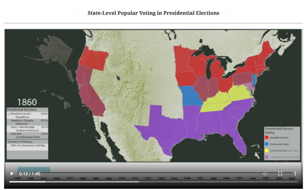
US Presidential Elections, 1840-2008 (DSL)
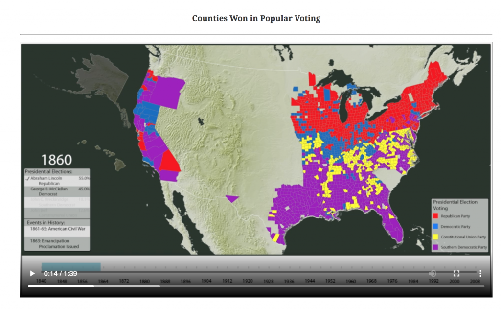
Presidential Popular Vote by County (DSL)
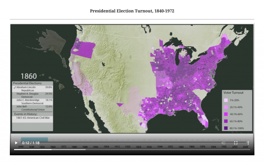
Presidential Election Turnout, 1840-1972 (DSL)