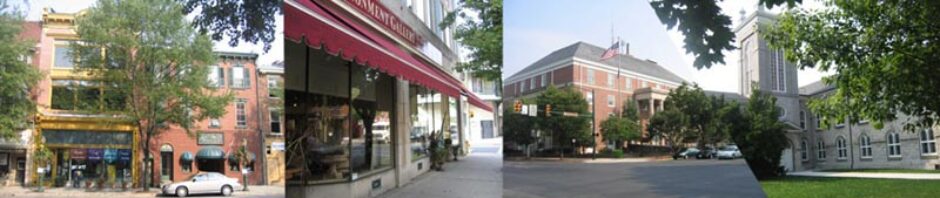
Mapping Carlisle | Carlisle Mapped on Flickr |
Historical Hanover Street
High Street serves as the central route between Dickinson College and the downtown. As a result, it has become the focus of the college’s High “I” Project for redevelopment. Currently, the street is home to a wide variety of small businesses and social services, including the Clothes Vine, Appalachian Foods, Casa Mani, the Whistlestop Bookshop, Back Door Cafe, Amy’s Thai, and George’s Subs.
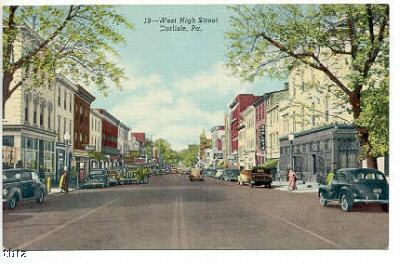
High Street used to be called Main Street … Here’s a postcard of Carlisle’s Main Street, circa 1907:
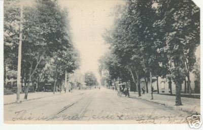
Main Street, 1907. Source: Postcard image circulated on Ebay.
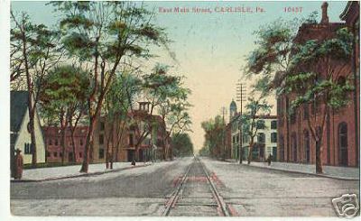
Main Street, 1912. Source: Postcard image circulated on Ebay.
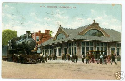
Postcard of the train that used to travel down High Street. Source: Postcard image circulated on Ebay.
High Street, no date. The removal of the tracks and the make of the cars suggest this image is from the 1930s or 1940s. Source: Postcard image circulated on Ebay.

First Lutheran Church, 1905. Source: Postcard image circulated on Ebay.
Walking down West High Street, one of the more impressive neoclassical buildings is the former Cumberland Valley Savings and Loan building, depicted here in 1972:
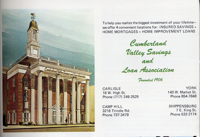
Cumberland County Savings, c. 1972. Source: This image is from a promotional publication on Carlisle originally published in 1972. Citation: The Greater Carlisle Area: The Heart of Cumberland County (Carlisle, PA: The Chamber of Commerce, 1972).
Today, 16 West High Street is Carlisle’s Human Services Building. The building is now home to a variety of social agencies, including the Offices for Children and Youth, Aging, Community Services, Mental Health/Mental Retardation, and the Drug and Alcohol Commission.
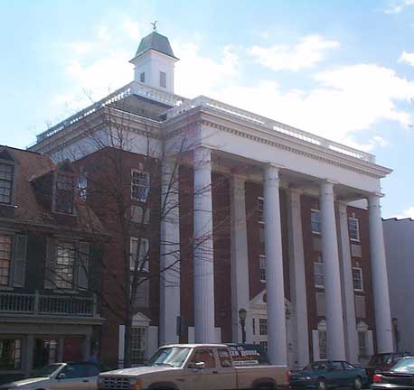
16 West High Street today. Source: http://www.ccpa.net
Heading West, you will encounter another remarkable building at 102 West High Street. Here you can see it in one of its earliest incarnations.

The Mansion House, circa 1916. Source: Postcard image circulated on Ebay.
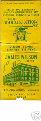
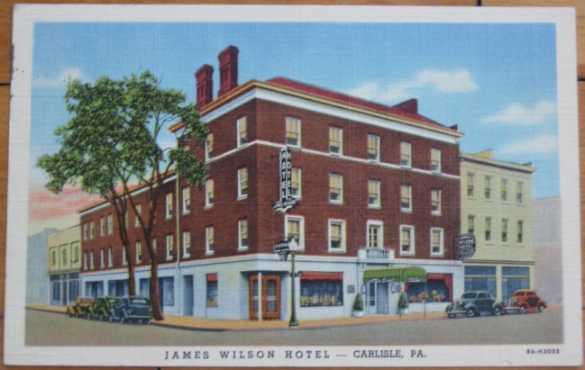
The Mansion House later became the Wilson Hotel, and is now the home of Safe Harbour, a homeless shelter and counseling center.
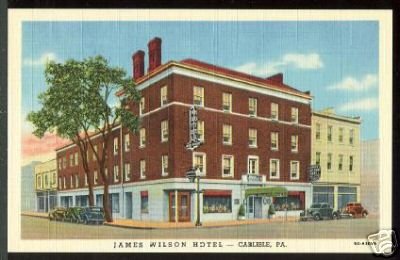
James Wilson hotel, no date. Source: Image circulated on Ebay.
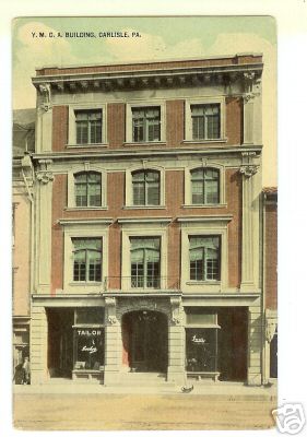
The YMCA on High Street, no date. This building is now Dickinson College student housing (25-27 High Street.) Source: Postcard image circulated on Ebay.
25 High Street also was once home to the AAA Travel Agency, as you can see here:
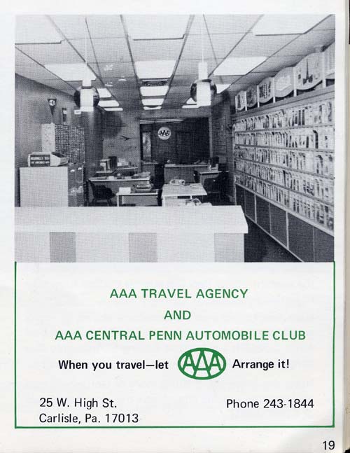
Formerly, the AAA inside 25 West High Street. This image is from a promotional publication on Carlisle originally published in 1972. Citation: The Greater Carlisle Area: The Heart of Cumberland County (Carlisle, PA: The Chamber of Commerce, 1972).
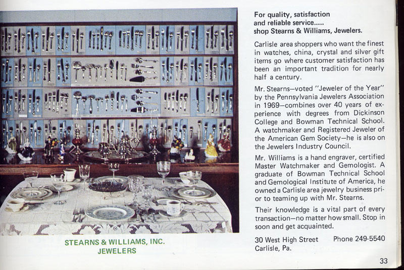
Across the street was Stearns and Williams Jewelers, at 30 West High Street.
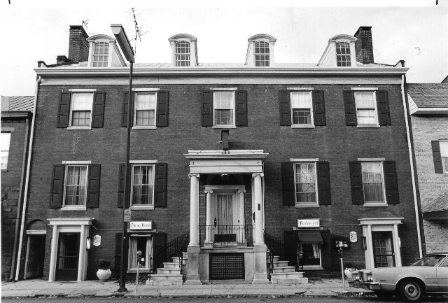
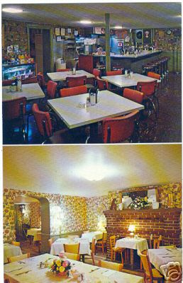
Here you can see the interior and exterior of the Bellaire restaurant, formerly located on High Street (the stairway next door to where Amy’s Thai is now).

We will continue to add to our collection. Please feel free to comment, or visit our contact page to share photographs. Thank you for your visit!
I lived in Carlisle from 1967 to 1984, and passed the buildings pictured above thousands of times. In seeing them a wave of nostalgia swept over me.
Hi,
Fantastic to see your historical pics of Carlisle,do you have any of the historic court rooms or the prison? I believe they have been constructed as a replica of the earliest buildings of Carlisle,Cumb,England.
Ian
From Carlisle.