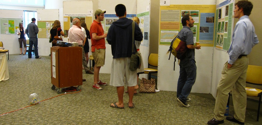
Tuesday, May 6, 10am – noon in the Rector Atrium
The posters will feature an assortment of projects conducted by the students that demonstrate the use of GIS (geographic information systems) for investigating and analyzing problems across a wide variety of disciplines, including environmental assessment, urban planning, historical studies, crime analysis, watershed monitoring, and landscape management. The students will be available for discussion throughout the session. Light refreshments will be provided.


