Tag: GIS

Spring 2014 GIS Student Projects

Below are some of the posters created for GIS supported course this semester and presented at the Spring 2014 GIS Expo and Poster Symposium. Check all the projects here.

An Analysis of the Trees on Dickinson College’s Campus

An Analysis of the Trees on Dickinson College’s Campus (Mary DiGiorgio ’14)

The spatial distribution of weathering on Basse-Terre Island, Guadeloupe

The spatial distribution of weathering on Basse-Terre Island, Guadeloupe (Leslie Milliman and Peter Sak)

An Evaluation of Harrisburg Street Trees

An Evaluation of Harrisburg Street Trees (Christine Burns)

Crime Rate Analysis at Hunting Park in Philadelphia, PA

Crime Rate Analysis at Hunting Park in Philadelphia, PA (Amanda Vandenburg)

GIS Expo and Poster Symposium

Tuesday, May 6, 10am – noon in the Rector Atrium

5703060189_ae44f23305_b

The posters will feature an assortment of projects conducted by the students that demonstrate the use of GIS (geographic information systems) for investigating and analyzing problems across a wide variety of disciplines, including environmental assessment, urban planning, historical studies, crime analysis, watershed monitoring, and landscape management.  The students will be available for discussion throughout the session.  Light refreshments will be provided.

GIS Poster Symposium: Friday 5/4/12 1:30pm—4:30pm Kaufman Hall

The GIS students at Dickinson College will once again be presenting the results of their course project assignments at our annual GIS Exposition and Poster Symposium Friday, May 4th, 2012, from 1:30pm—4:30pm in the Kaufman Hall Student Lounge area (located between Kaufman 188 and 190, just outside the Center for Sustainability Education [CSE] office and next to DPS).

As usual, the posters will feature projects conducted by the students that demonstrate the use of GIS (geographic information systems) for investigating and analyzing problems across a wide variety of disciplines.  This year’s symposium will include posters that focus on environmental assessment, archaeology, history, urban planning, economics, health studies, agriculture, and landscape management, just to name a few.
Refreshments will be provided, so we invite you to please come, relax, and celebrate the end of the academic year by visiting with our very talented and hardworking students.
Images from last semester’s GIS Poster Symposium:

GIS Exposition and Poster Symposium

Instructional & Media Service’s own Jim Ciarrocca, will hold a GIS Exposition and Poster Symposium to showcase his students work from the semester.  This is the second year for this event and to say that it is impressive is an understatement.  The students create giant, detailed posters capturing hours of field work data collection and analysis and funneling them into a beautiful, informative displays.  We hope to see you all there!

The Advanced GIS students at Dickinson College will be presenting a GIS Exposition and Poster Symposium on Monday, May 9, 2011, from 9:00am—12:00noon in the HUB Social Hall East.  The exposition will showcase a variety of projects conducted by the students that demonstrate GIS (geographic information systems) methods to investigate and analyze spatial problems of varying complexity.

Included in the symposium will be posters illustrating the use of GIS across a wide variety of disciplines, including environmental assessment, archaeology, geology, food distribution, watershed monitoring, and landscape management.  The exposition will also include informational displays and hands-on demonstrations highlighting other aspects of GIS and spatial literacy.

The exposition is free and open to the public, so attendees are welcome to come and go as their schedule allows – no need for reservations.  The students will be available for discussion throughout the 3-hour session.  Light refreshments will be provided.

For more information, please email gis@dickinson.edu or call 717-245-1978

Learn more about GIS at dickinson by going HERE!

GIS Overview

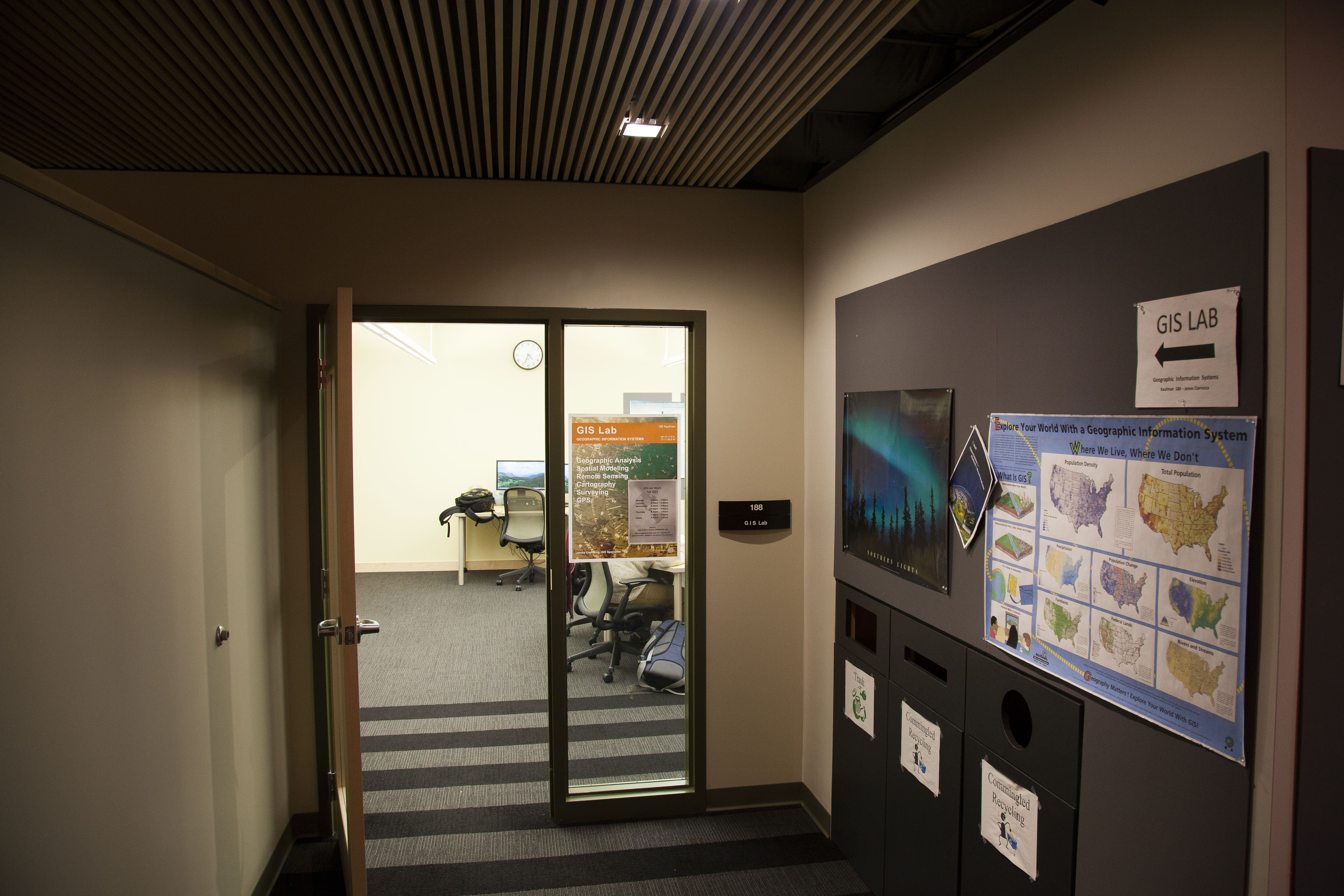
Instructional & Media Services has a full time GIS Specialist on our staff to support GIS projects in all disciplines.  Our specialist, Jim Ciarrocca, is available for consultations on possible projects.  Here are a few examples of past GIS workshops.

Introduction to GIS

GIS (Geographic Information System) is a way of capturing, analyzing, and displaying data in a spatial manner. While Google Earth may be able to perform some of these functions, ESRI, the GIS software supported on campus, allows for the entry and analysis of much larger and sophisticated data sets. Faculty in Geology and Environmental Studies are already using this software for their classes or research.  This workshop will demonstrate how faculty from other departments across the curriculum can use GIS to display information spatially in a manner that is accessible for everyone.

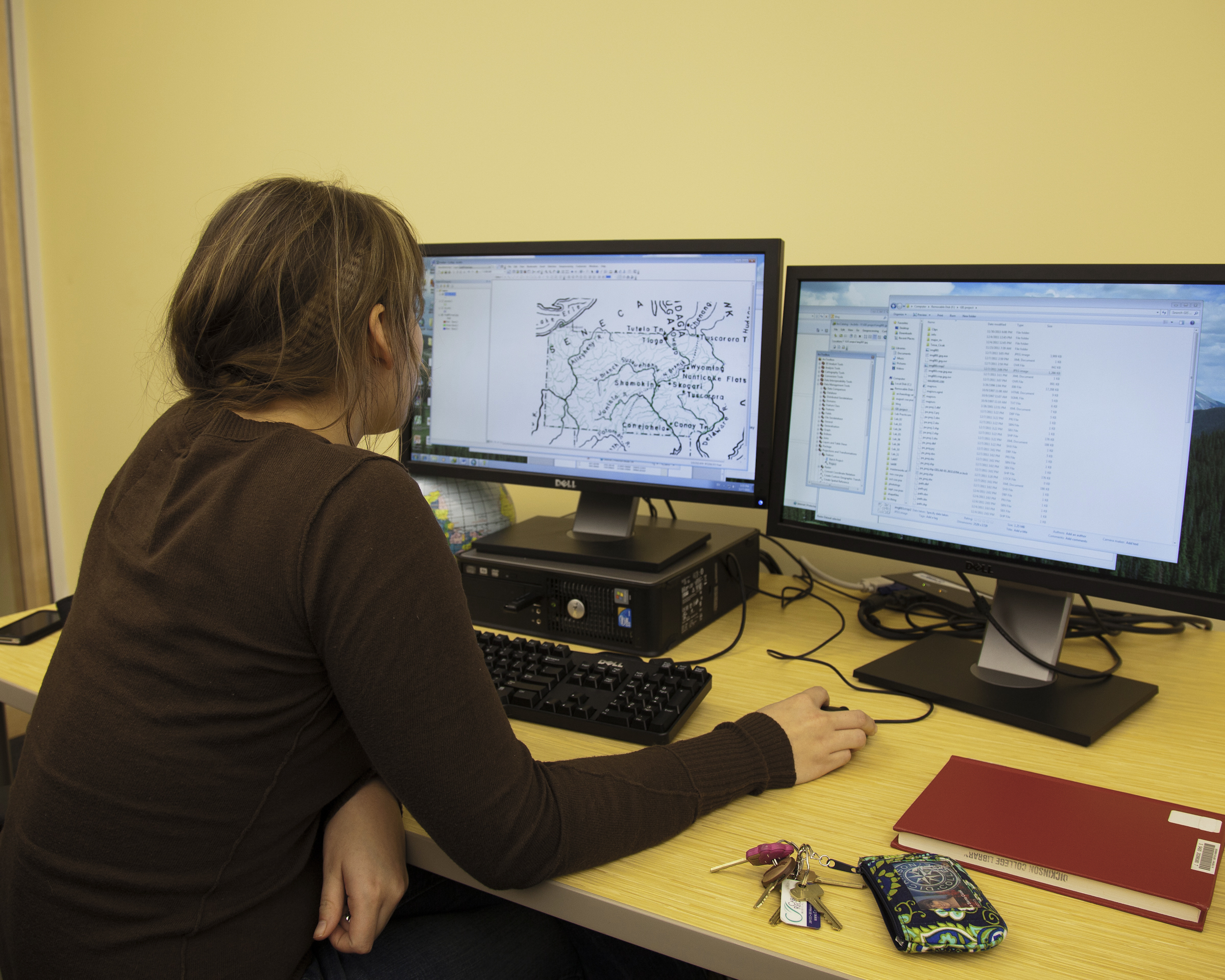
GIS: Making Simple Maps

In this introductory workshop we will explore using geographic information system (GIS) software from ESRI to build a simple map.  We will start with a predefined lesson and data set.  Tasks will include layering the data onto a base map, classifying and symbolizing the information, adding a title and legend, and saving the finished map in a format suitable for publication.

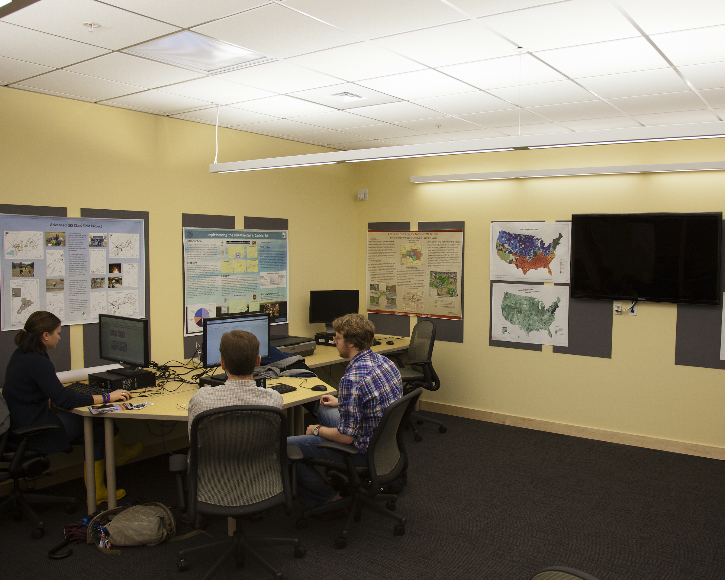
Introduction to Spatial Literacy

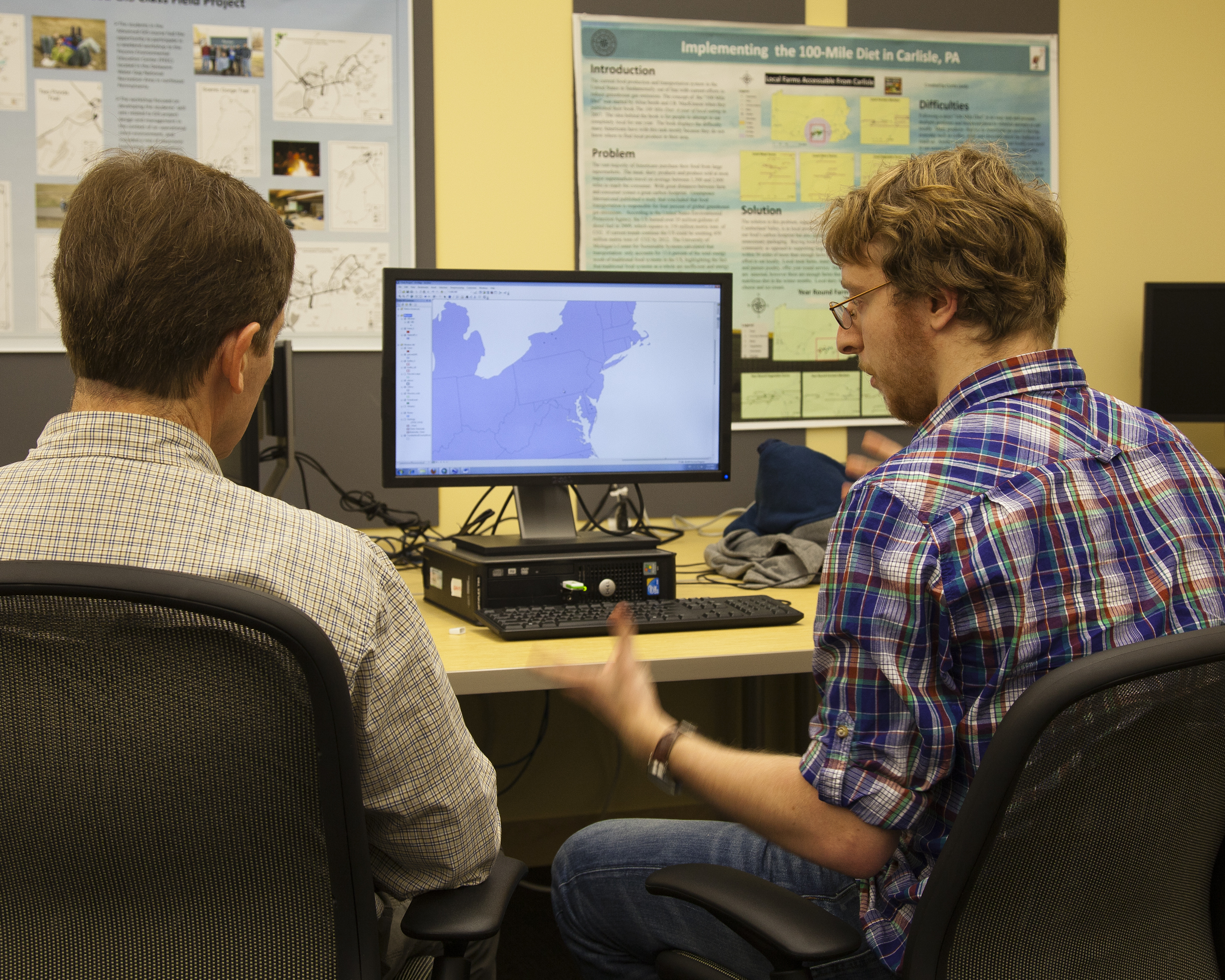
Understanding how to think about problems and concepts in a spatial context is a fundamental skill that is not well taught in the American educational system.  Often referred to as “Spatial Literacy”, this type of thinking focuses on understanding the importance of geographic space, and the relationships formed by this space.  Spatial Literacy is not a stand-alone subject, but rather it is a way of thinking that cuts across all fields of studies, and is becoming increasingly important as a necessary skill for liberal arts graduates across all disciplines.  A powerful technology for engaging spatial thinking is called Geographic Information Systems (GIS), which provides sophisticated tools for collecting, managing, analyzing, and visualizing spatial data.

Google Earth allows users to embed and display information on top of a representation of the world created via satellite photos.  In this workshop we’ll go over basic navigation of the Google Earth interface, as well as Google sponsored layers, including historical maps and government data bundled with the latest release of Google Earth.  Finally, we’ll demonstrate how you can enter your own text and images, and then attach them to a location.

© 2024 Dickinson College Media Center


Academic Technology services: GIS | Media Center | Language Exchange

Theme by Anders NorenUp ↑